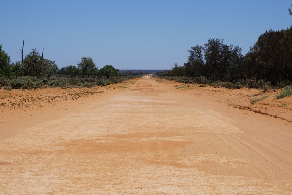
the black top ends shortly after mildura, if you are headed towards mungo that is; 112km of rather well groomed outback highway. we didn’t rush and got there in the early afternoon. there was a bit of a breeze and it was quite cool for the time of year.
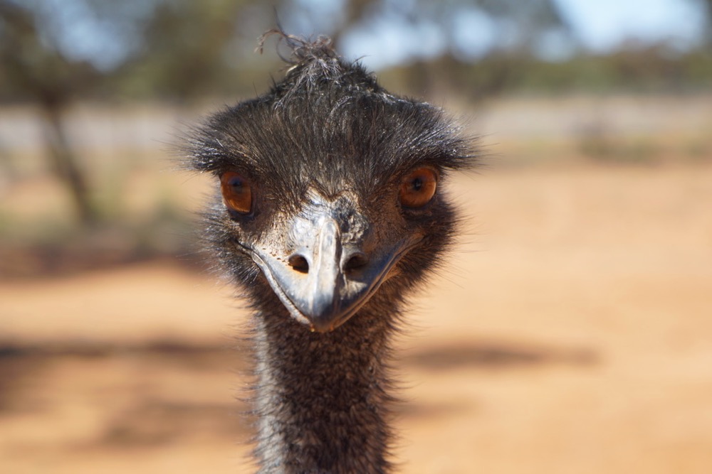
some of the locals do look a bit over the top. funky hairdo, though.
the other guy appears to hit the gym pretty hard. not much to do out here by the looks of it. we called him arnie.
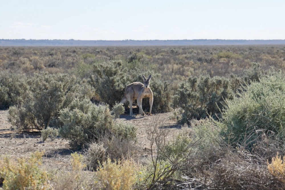
and i’m not sure what to say about this guy.
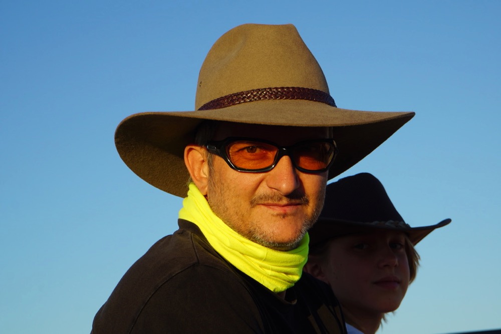
kris says it’s the only hat that suits me. i hope she doesn’t just say that because she loves me. the hat is pretty comfy though and provides a lot of shade. function over appearance, right?
actually there is quite a bit to see around out here. we have been to mungo before and loved it which is why we really wanted to return. we also missed out on the guided tour last time (they were closed for christmas) so we were keen to join one this time around.
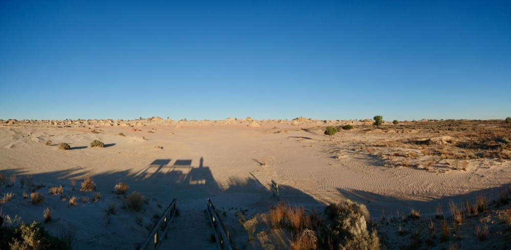
it is impossible to make too many photos of mungo, it’s so hard to do the place justice. especially around sunset the light is magical as the light reaches the lunette.
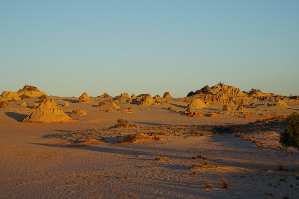
the ‘great wall of china’ is a ring of dunes along the east side of the lake, where the wind carried sand and clay and built up an impressive lunette over time. now the process works in revers and wind and water carve new shapes out of the sandstone.
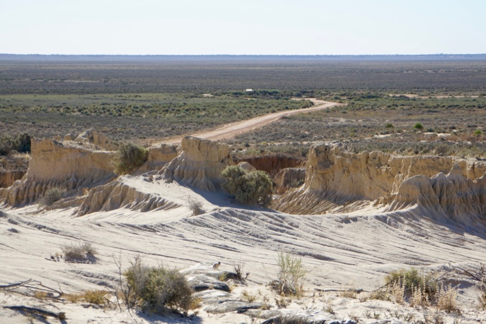
as we learned the next day (during the tour) there are a few different layers of soil / sand here, each deposited during a specific period of time, ranging from quite recently, say 10k years ago, to a bit earlier – about 100k years ago. knowledge of these layers unlocks the real magic of mungo.
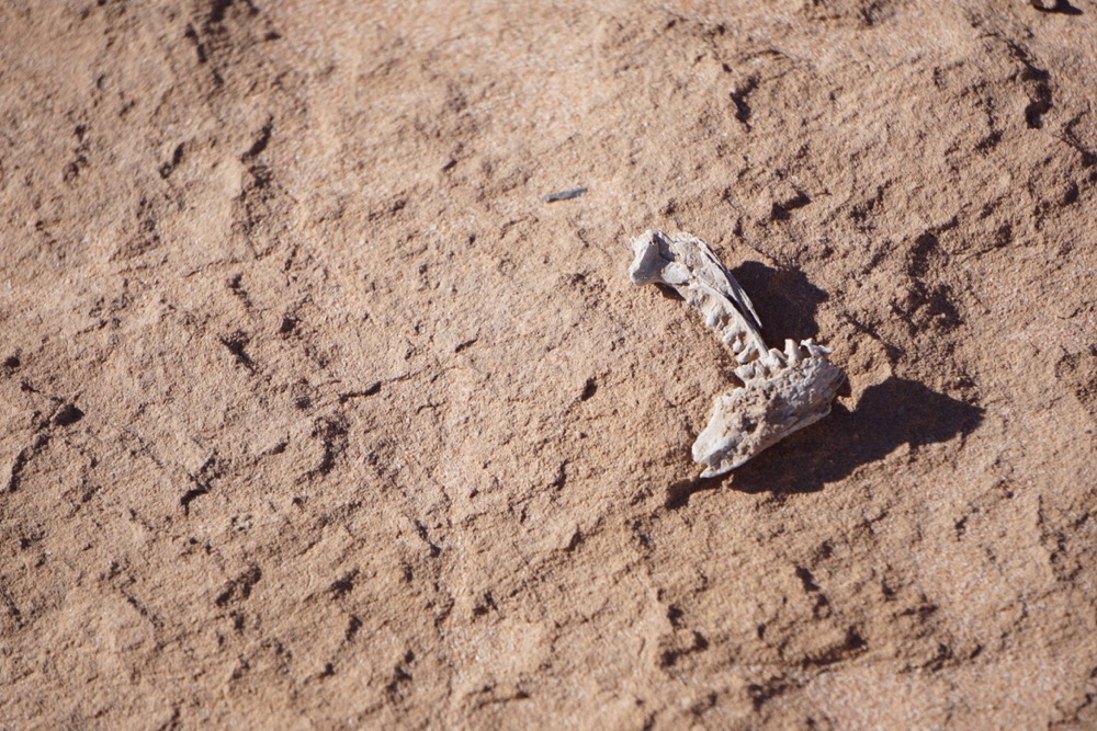
embedded in the soil, and slowly uncovered by erosion through wind and rain, is evidence of tens of thousands of years of aboriginal settlement. our guide showed us examples of life through the ages: ancient fire places, remains of meals, traces of feasts (one a wedding) and ceremonies. evidence of plentiful times when the lake was full and the climate warmer with many examples of marine and other animal life and others of colder periods.
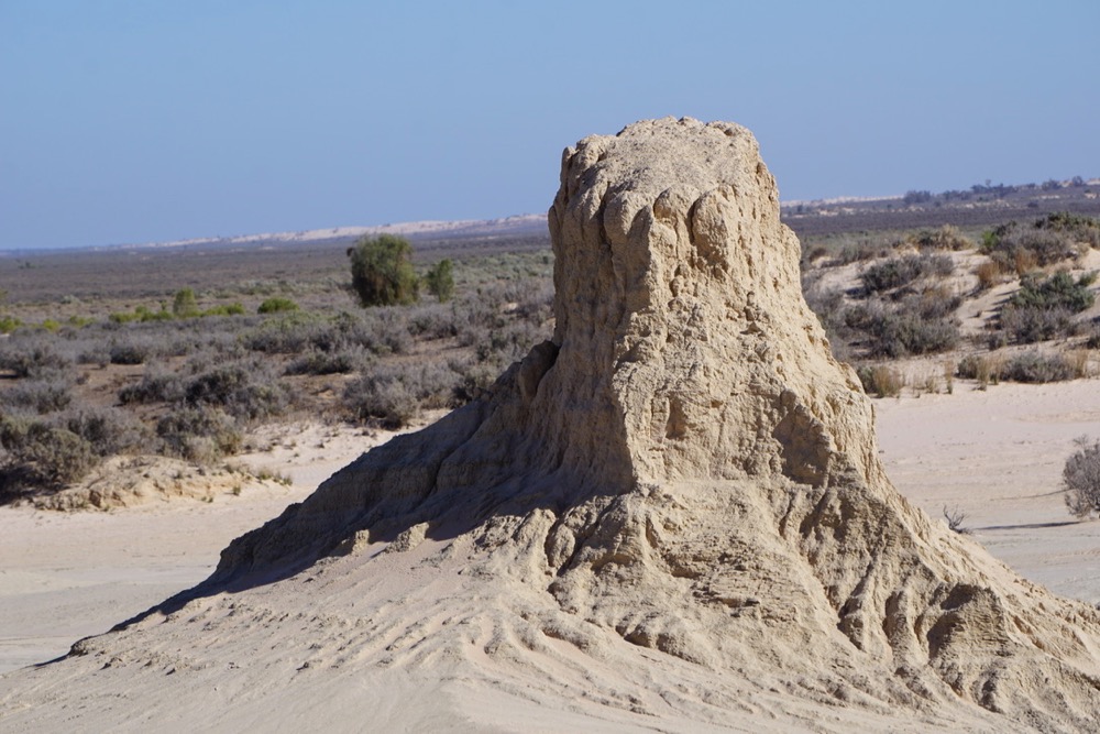
the actual walls are more or less decoration, as beautiful as they are.
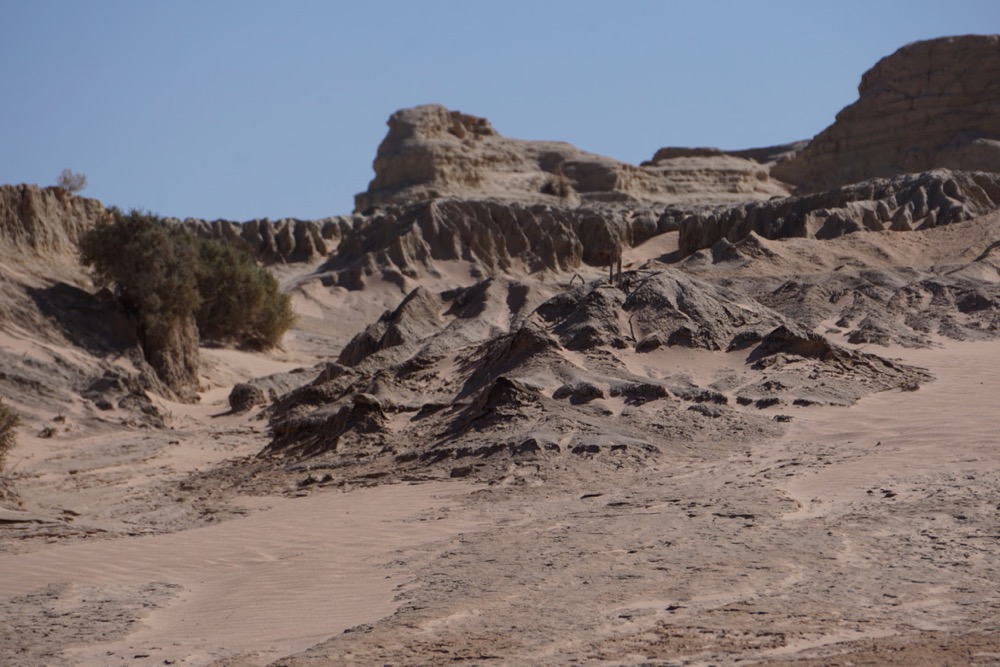
the real secrets are hidden underneath. our guide, whose tribe lived on this land for countless generation, explained to us how every windy day has the potential to uncover another amazing artefact.
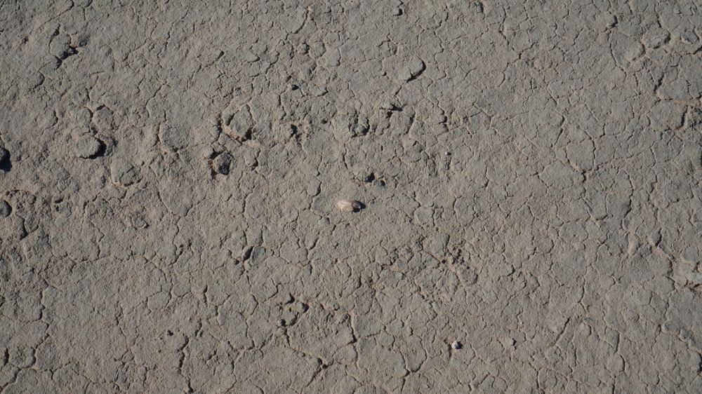
the little piece in the photo above is a fish ear (who knew fish had ears) and our guide could tell from it’s size and shape what fish it came from. the layer it is embedded in allows to roughly date when this particular fish was eaten. to be honest to me it looked like just another pebble which i would have stepped on.
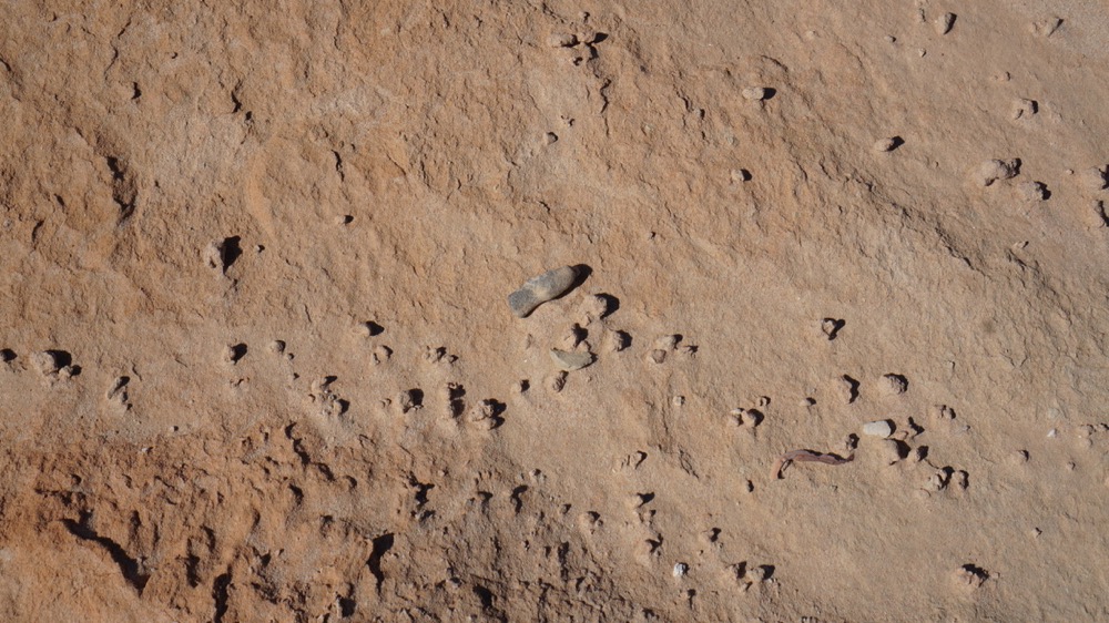
after the explanations by our guide we were all a lot more careful about where we put our feet. the oddly shaped longish thing in the picture above is a tool made from clay, which was used to punch a hole in the top of emu eggs before they were cooked.
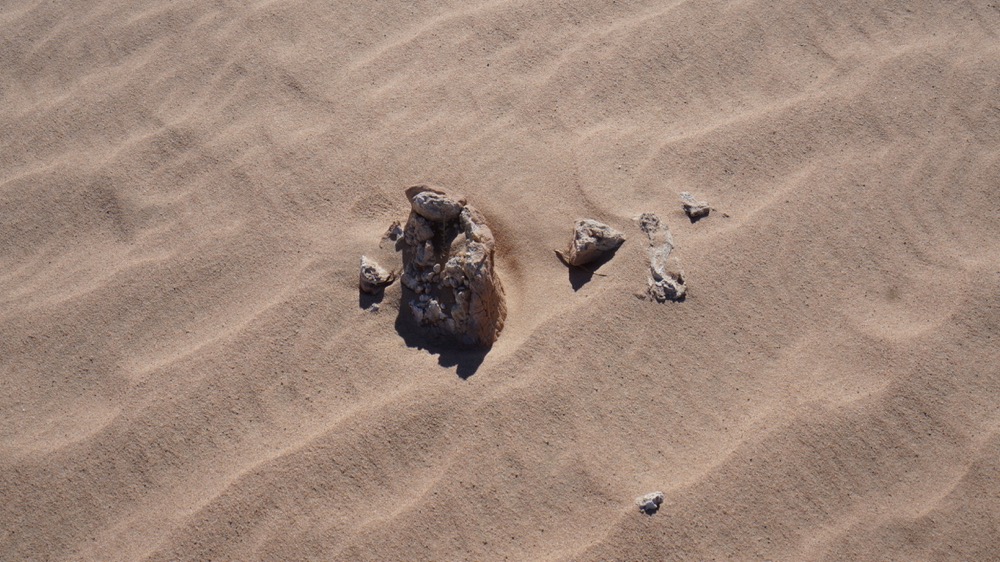
it is impossible to protect the site, it is simply too big. secondly the forces that destroy it are the same that uncover new stories every day, or turn a new leaf as our guide put it. some more relevant parts are protected by branches carefully placed by the rangers; these allow sand to accumulate which provides a protective layer.
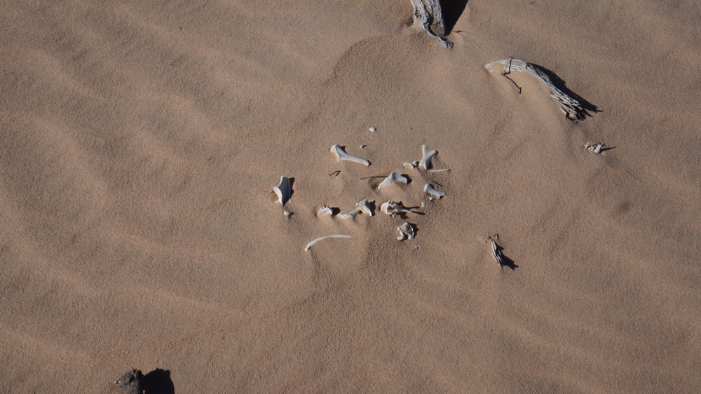
an ancient meal, i forgot which animal.
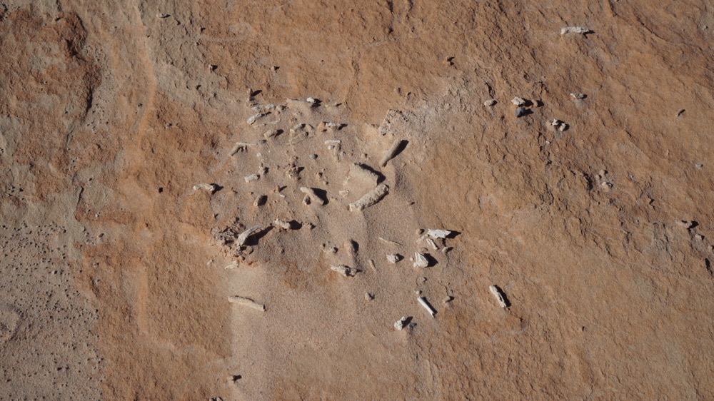
another fire place with the remnants of a meal, slowly being uncovered.
while mungo man and mungo woman are well know and very relevant cultural artefacts – evidence of ceremonial burial from more then 20 thousand years ago – many more human remains have been found. our guide told us about a mungo child that was being uncovered and she was very excited about what stories that would tell the world.
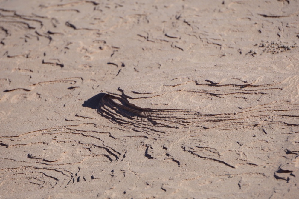
you may also have heard about the field of petrified footprints. that is luckily off limits to visitors and is according to the ranger completely covered up to avoid damage, mainly from water and frost. there is a reconstruction of that site behind the visitor center but for more information watch the tv documentary ‘first footprints’.
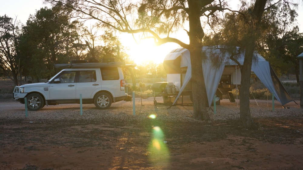
our camp site at the main camp at mungo. the roos were all over the camp with their young ones.
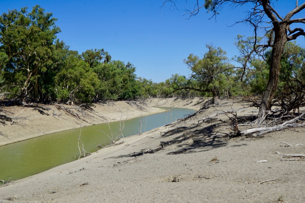
from mungo we drove to menindee, though pooncarie, then following the darling. we saw no car between pooncarie and menindee and maybe three between mungo and pooncarie (on a short piece of black top).
the darling looks nothing like the rivers we know from europe. this looks like a dug channel though i would be surprised if it were.
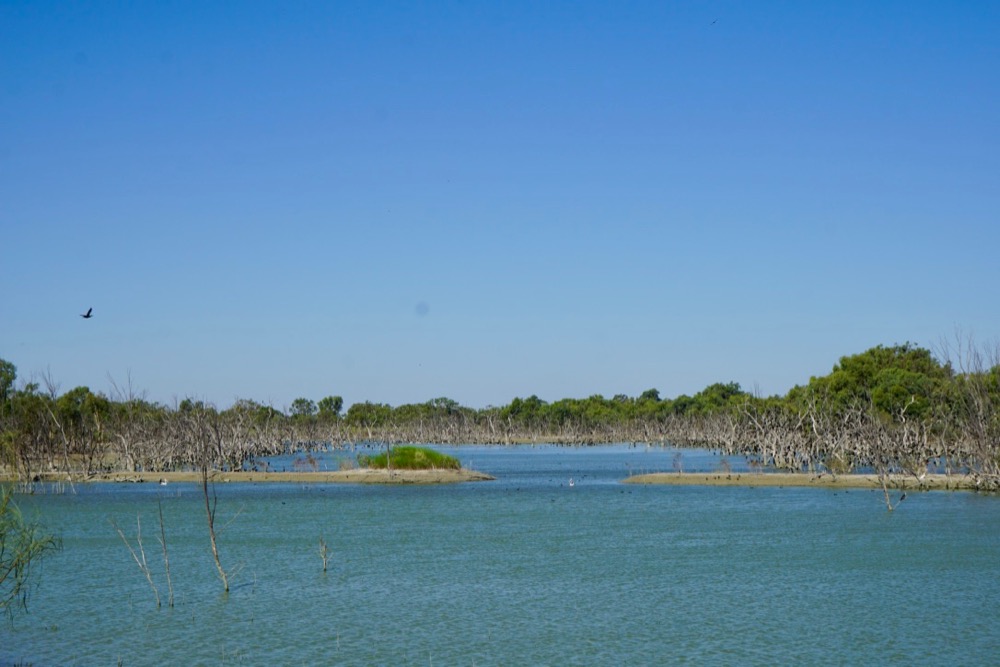
water is always a contentious thing in a dry country like australia. lake menindee apparently only holds 20% of the water it could. people here (in norther nsw) blame either growers in queensland for taking out too much or the government of south australia for using the water the flush the river (environmental flows) to avoid the lower parts and lake alexandrina from becoming too salty.

it’s probably a bit of both, i can’t tell which one is more true. driving through mildura, a prime example of an artificial community built on irrigation with water from the murray, having been through the mallee country before is an eye opener. it’s great to see so much fruit growing but is this sustainable?
but to end on a high note here is a bit of footage from mungo. enjoy.
