are you interested in what a rally looks like on a map? here is a glimpse.
i am always using the trailtech voyager as my dash: it includes an odo, a speedo, allows me to monitor the engine temperature … and above all also includes a gps. i generally use it to keep track of the trails in the watagans, during the rally it would have been pretty useless. however, i kept it on anyway, just out of interest. so you can see where we went – low resolution of course, i would not want anyone to figure out where the tracks are. sorry.
below is day 1. you can see the long haul from geraldton in. it would have been boring had the landscape in the morning sun not looked so brilliant. then the first selective, and the costly error. i was really angry about myself, that was a silly lapse of concentration.you can also see the fairly straight finish to the second selective and the short third selective wrapping around the murchison bivvi.

day 2. looks like i was averaging 2 small crashes and 1 silly mistake per day. selective one went rather smoothly, and i did not loose too much time even though it was fairly straight which would generally count against me & my little bike. the selective was actually shortened and you can see why: initially the road section would start at the left hand kink after the new selective finish, but as you can tell that would have included a very long straight section, a fence line actually with a few not so nice surprises in the shape of gutters and washouts. i think it was not a bad decision to take that out.
you can also see the wrong trail i followed on selective 2. that was the goat / cow trail through the stony desert. i did not loose too much there, at least not as much as on day 1. the second selective was a bit tighter than the first, and longer. i actually quite liked it.

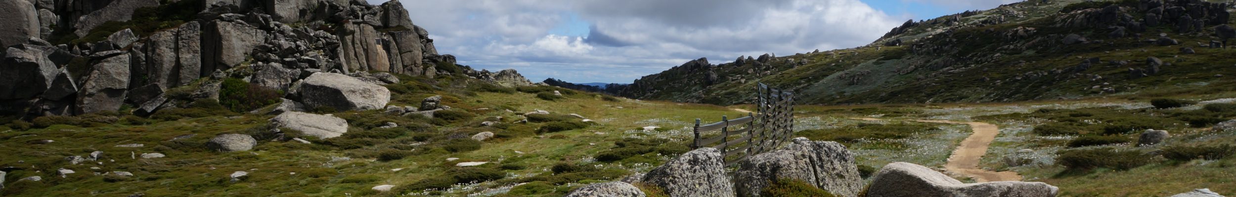
day 3, unfortunately my last. i tried to break my habit of 2 falls & 1 missed turn. i managed to only fall once (a little lie down in a sandy creek) and missed one turn. all in all not too bad, if a bit slow. the liaison to the start of selective 1 and back from the finish of selective 2 was a bit long but the selectives and the service at mount augustus were quite spectacular.

below the offending part of the roadbook: creek at 95.20, then rgl (road goes left) at 96.04. except, there was no road going left; instead there was a paddock left and a full blown road going straight on (no fence anywhere to be seen). the next issue was that the next instruction was more than 3 km further down the road, at 99.21 – and that was just a little gutter that could easily have been anywhere. that’s a long way to go before you find out you don’t know where you are.

it’s of course absolutely possible that this is exactly how things looked like when the roadbook was written up, but it looked nothing like it when we got there. no wonder a lot of people lost time there. still, that’s what makes a rally interesting.
to be continued …