we spent our last day in kakadu trekking out to jim jim falls. we knew the falls were no longer running this late in the dry but we were keen to see it anyway.
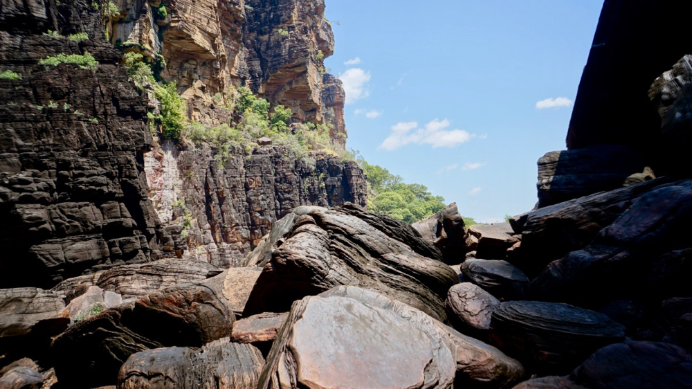
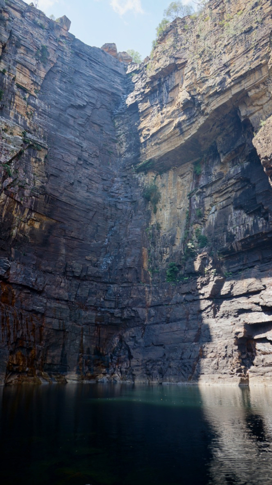
(above the trail into jim jim falls. can’t see the trail … isn’t that fun.) jim jim falls are massive: the cliffs are more than 150 meters high and the plunge pool is big and cold. the falls must be enormous during or just after the wet, we’ll have to come back and check it out at some point.
the hike in is not too bad, about half an hour and mostly shaded, so even in the hot weather it was actually a good excursion.
after leaving kakadu we’ve enjoyed a few quiet days in katherine. the katherine hot springs were just a few meters away from our camp site and provided some welcome opportunity to cool down – yes, let me repeat that: it’s so hot we went to the hot springs to cool down.
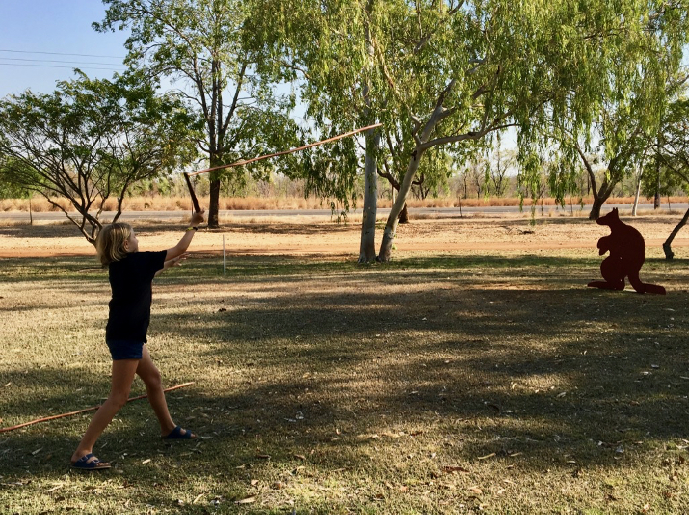
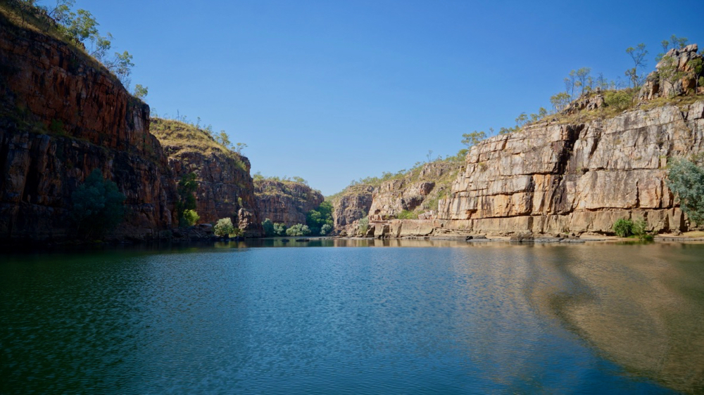
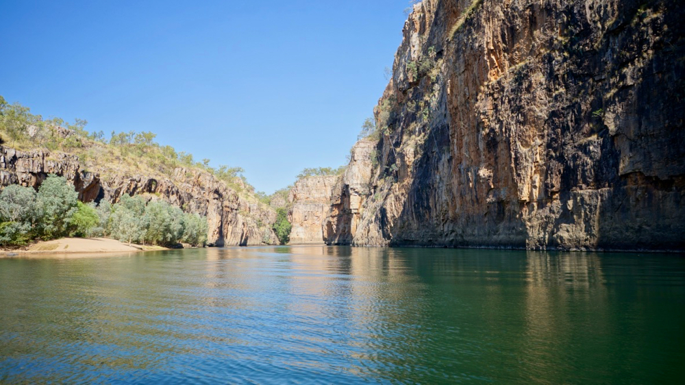
so we decided to expedite our stay here and crammed the other attractions into one day: the katherine gorge, the wonderful mimi aboriginal art (and language) center and especially for natalie a visit to top didj to get some hands-on lessons in aboriginal culture.
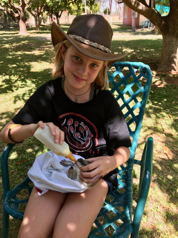
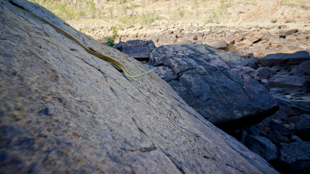
natalie is now not only a specialist in feeding baby roos (actually in this case agile wallabies) but also in spear throwing. i am wondering if our way of raising her, between snakes, whips and spears, can be considered safe – for her environment.
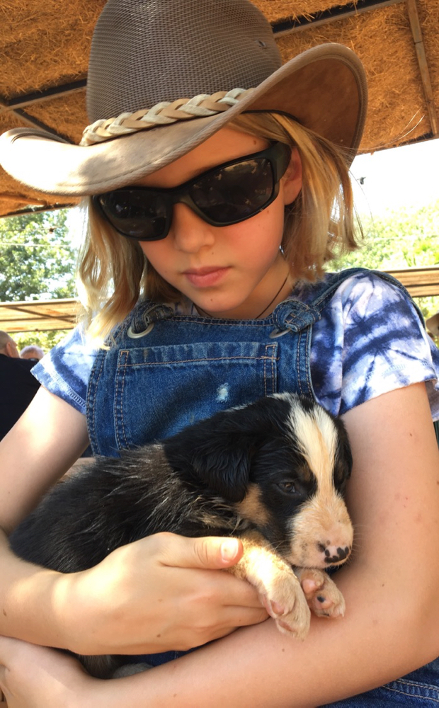
she did hold a cute little cattle dog and fed a calf yesterday, too.
so now the key question is how we are going to get over to the east coast. there is a really hard way, a hard way and a boring way. maybe unsurprisingly our little travel community is split on which way to go. we’ve agreed to give the ‘really hard’ way through roper bar and limmen national park and lorella springs a miss. the main reason is that the roadhouse at roper bar is closed, which means that there is a stretch of more than 550 km to cover. we normally get 500 km out of a tank and carry two jerry cans which should give us another 250 km, so in theory we should be safe.
but as we all know, in theory theory and practice are the same but in practice they generally are nothing alike. and since most people we have asked don’t seem to think the detour is worth the trouble for non-fishers like us we figured we’d give that part a miss.
the next option is to take the sealed road via daly river to ‘cape crawford’, which is so small on google maps we only found the aptly named ‘heartbreak hotel’. the next place would be borroloola which a few people told us to drive through as quickly as possible with the windows wound up and the door closed. we not sure why but it does not sound too encouraging. from there it’s 320 km to the next stop at hells gate roadhouse, which is according to all reports and despite its name actually quite nice.
we inquired about this 320 km stretch of road at the tourist information in katherine today and the young gentleman did not even try to sound encouraging. corrugations, sharp rock, massive bull-dust-filled holes, rocky creek crossings (probably not much water at this point in time though). we were unsure if he was worried about us suing him if he painted a more rosy picture and we found it to be a ‘proper’ outback road. it would still be a seven or eight hour journey assuming a ‘normal case’ scenario. i’ve read one travel report that said they were doing about 20 km/h, so who knows …
the ‘boring’ option is to continue south to three ways (that’s what the settlement is really called) and then turn east towards mount isa. we could then turn back north to visit adel’s grove. that is quite a long detour but the road is sealed all the way.
so it all comes down to how much adventurous we feel. or how much rattling we think we can still endure. and of course how much we trust in those new tyres.
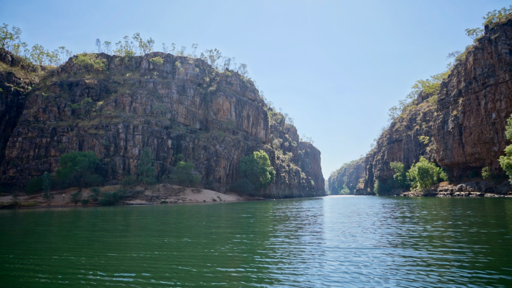
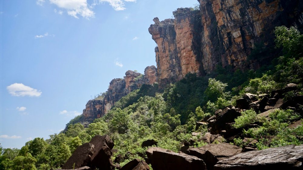
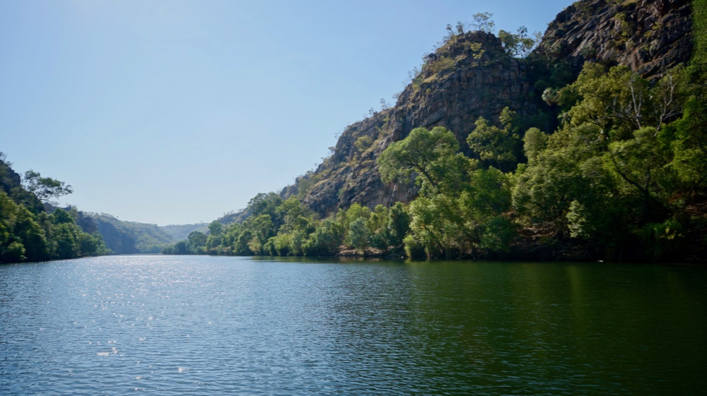
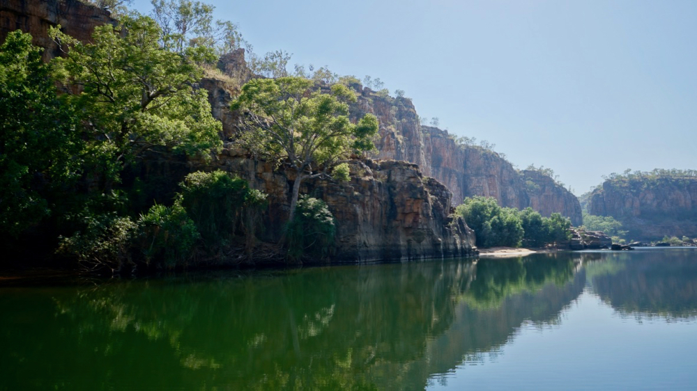
we won’t be seeing anything like katherine gorge (the series of pictures above) for a while now in any case.
